Halfway between Falmouth and Oak Bluffs, under three feet of water, lies a sandbar that carries our family name. Every chart of Nantucket Sound labels it L'Hommedieu Shoal. Yet no history, tradition or government record I have found says who it was named for, or why.
That silence is not unusual for these waters. In 1964 the Vineyard Gazette surveyed the names of local shoals and ledges and admitted that for many of them "neither history nor tradition offers a clue." Lucas Shoal, Tom's Shoal and Bow Bells all sit in that same fog. Ours does too. What follows is what the record does show, and the most plausible ways a Huguenot name from Long Island came to mark a hazard off Cape Cod.
The shoal itself
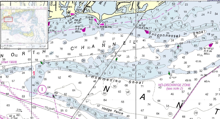
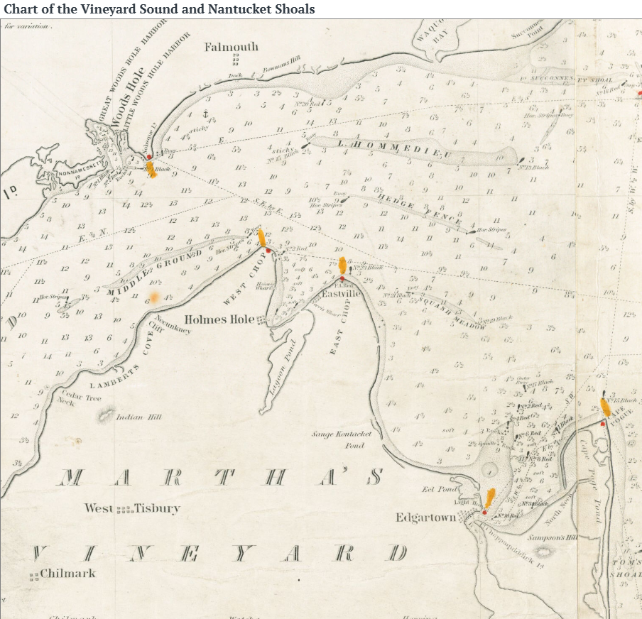
L'Hommedieu Shoal is a long ridge of sand running east to west where Vineyard Sound meets Nantucket Sound. It lies at approximately 41°31.5' N, 70°31' W (41.525° N, 70.5167° W in decimal degrees). The U.S. Coast Pilot gives its least depth as 3 feet and notes that it is marked by buoys at its north, east and west ends. Its neighbor to the south, Hedge Fence, is covered by only 5 feet.
For two centuries this was one of the busiest coastal highways in America. Schooners carrying coal, lime, lumber and granite between New York and Boston funneled through these sounds rather than face the open sea around Nantucket. Every one of them had to thread the gap between L'Hommedieu and the shoals around it. Local fishermen still know a stretch of it as "Half Way" shoal, for its position on the crossing to the Vineyard.
What the record shows
The name was already in use by the 1860s, and the shoal has been catching ships under it ever since. None of the wrecks below explains the name, because all of them came after it.
| Date | Vessel | What happened |
|---|---|---|
| January 1924 | Ruth E. Merrill, six-masted schooner of Portland, Maine | Leaking badly with coal from Norfolk to Boston, she was steered onto the edge of the shoal on purpose and sank there. Captain and crew of twelve escaped in a power boat. |
| 5 September 1891 | USFC Grampus, Fish Commission research schooner | Ran aground in a southeasterly storm with U.S. Fish Commissioner Marshall McDonald and his family aboard. All reached Falmouth by dory; the ship was refloated. |
| May 1866 | Arcturus, schooner | Listed in a maritime disaster index as lost on the "W part L'Hommedieu Shoal." The earliest dated use of the name I have found. |
The spelling wanders. Records show L'Hommedieu, L'Homme Dieu, Lhommedieu and, in 1891, L'Hommidieu. Our branch writes it L'HommeDieu; the charts have settled on L'Hommedieu.
How it might have happened
No document yet confirms any of these. Each is grounded in how other shoals in these waters got their names, and in what our family was doing at the time.
1. A L'HommeDieu vessel struck it
This is the likeliest story. Hazards in the sounds were often named for the first ship known to hit them. Monohansett Rock off the Vineyard, the Gazette reported, went unmarked until the steamer Monohansett struck it in fog and the rock took her name.
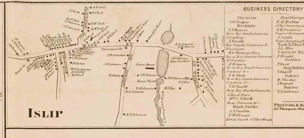
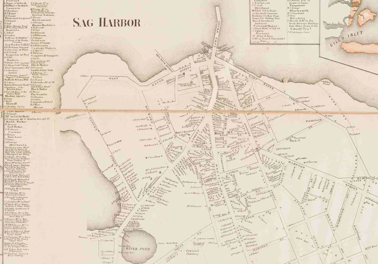
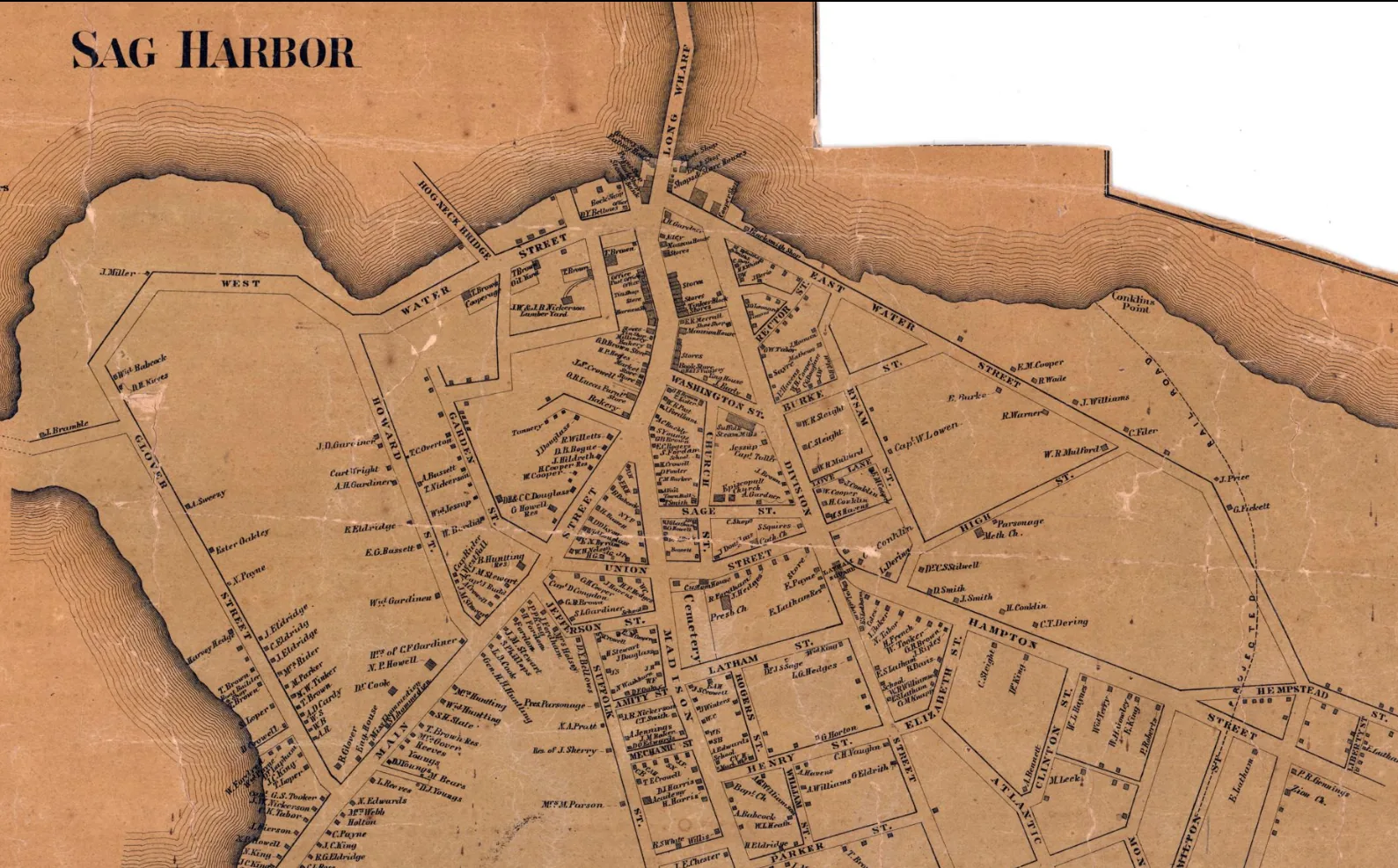
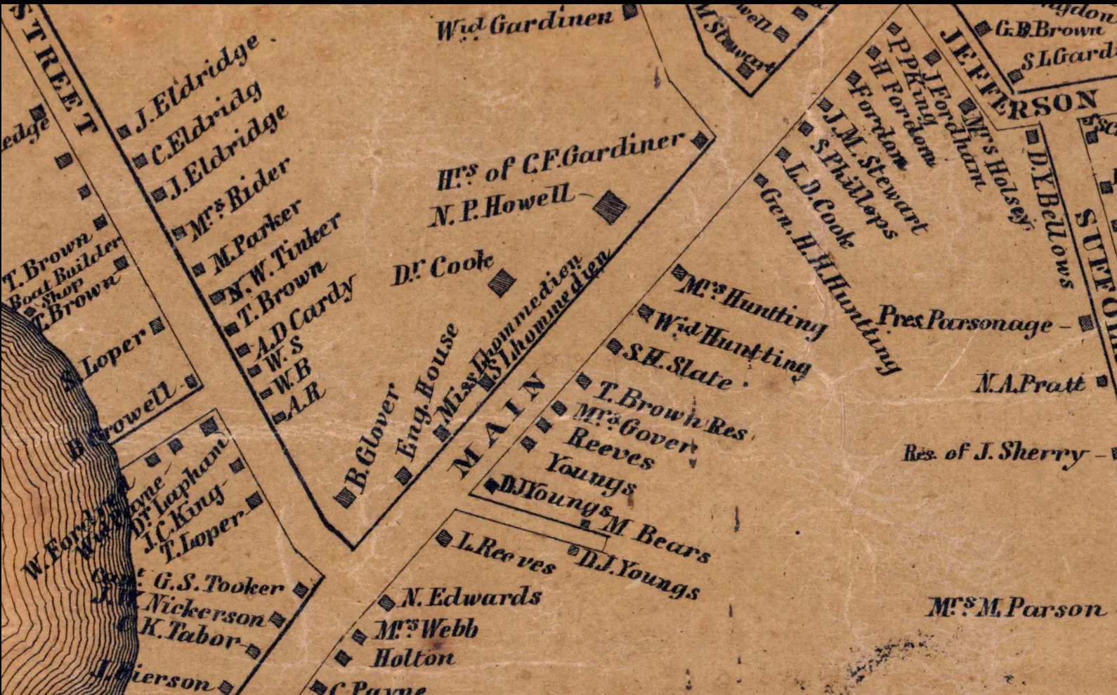
The L'HommeDieus of Southold, Shelter Island and Sag Harbor lived by the water from the 1690s on. Coasting traffic between Long Island Sound ports and Boston ran straight through Vineyard and Nantucket Sounds. A sloop or schooner under a L'HommeDieu master, grounding on an uncharted bar, would have given pilots exactly the kind of story that attaches a name: "that's where L'HommeDieu fetched up."
2. A ship bearing the name
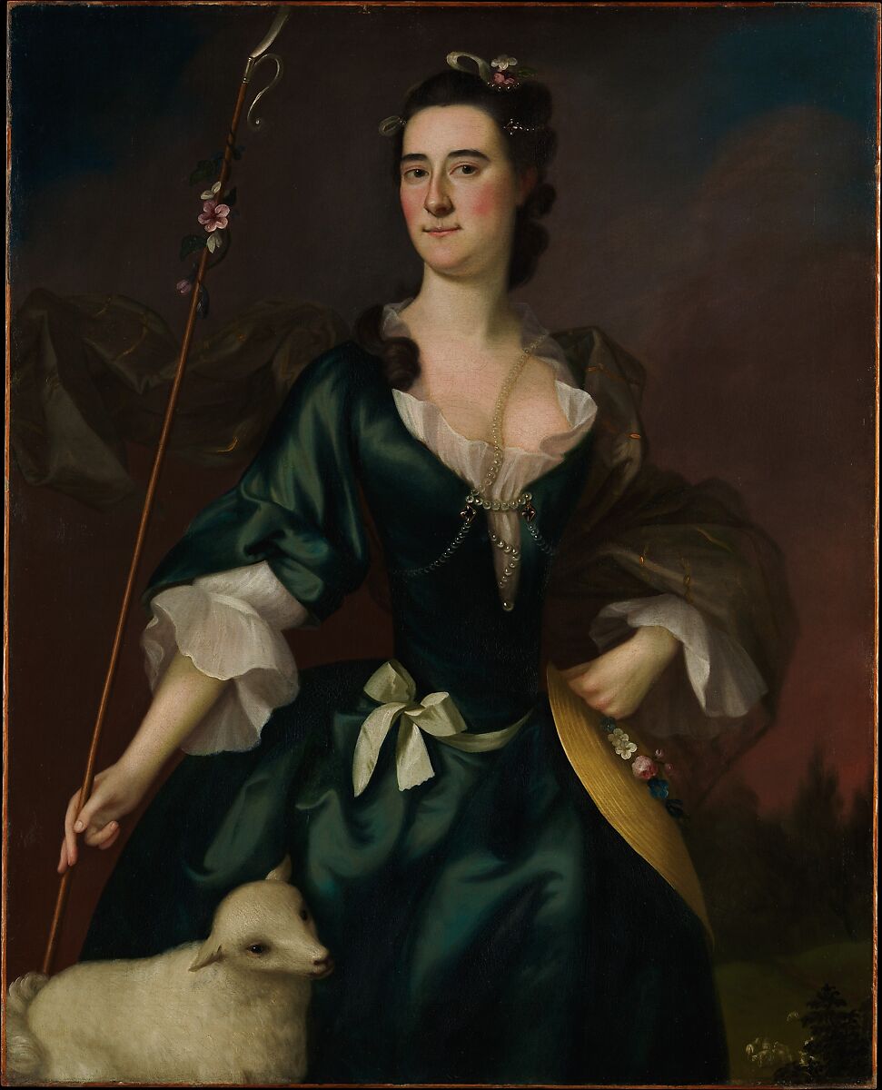
Vessels were often named for prominent men, and the family had one. Ezra L'Hommedieu (1734 to 1811) of Southold served in the Continental Congress and the New York Senate for decades. He chose the site for the Montauk Point Lighthouse in 1796, the first public works project of the new United States. A coaster christened for him or his family could have run aground here, leaving the ship's name rather than the captain's on the chart.
3. A pilot or surveyor's name
Some shoal names came from the pilots who knew them. The Gazette noted that Lucas Shoal "was given to the shoal by an oldtime pilot." A L'HommeDieu who piloted these waters, or who first sounded and reported the bar, could have left his name the same way.
4. A tribute to Ezra himself
It is tempting to link a navigation hazard to the man behind Montauk Light. But Massachusetts mariners rarely honored New York politicians, and I found no evidence of a connection. This is the least likely of the four.
A family thread worth pulling
Family lore traces our line to Charles L'HommeDieu, a steamboat engineer, and his father before him sailed a sloop named the Martha Washington. Sloops were the workhorses of the coasting trade, carrying cargo and passengers between Long Island Sound and the ports of New England. If the Martha Washington ever traded east toward Boston, New Bedford or the islands, her course would have run directly past this shoal.
That would not prove the shoal was named for her or her master. But it puts a L'HommeDieu at the helm of exactly the kind of vessel these waters caught, and it gives us a name to search for. Ship enrollment and license records, customs house registers and old wreck reports could tell us her home port, her routes, and whether she ever came to grief in the sounds.
Why the answer was lost, and where it may still be
Names like this were born in conversation, not in documents. A pilot told a captain, a captain told his mate, and by the time a hydrographer wrote the name on a chart, the story behind it had stayed on the wharf. The federal Board on Geographic Names did not exist until 1890, long after this name was in common use.
The answer may still survive in a few places:
- Old charts. The earliest chart that prints the name dates it. Candidates include George Eldridge's Chart of the Vineyard Sound and Nantucket Shoals (registered 1865, this edition 1874), Capt. Thomas Jones Jr.'s 1786 pilot's chart of the Nantucket Shoals drawn by a Falmouth pilot, and the 1776 Atlantic Neptune sheets.
- Early sailing directions. Edmund Blunt's American Coast Pilot, first published in 1796 and reissued for decades, named the shoals it described. An edition that mentions L'Hommedieu would narrow the date.
- Newspapers and customs records. Wreck reports in the Vineyard Gazette, Nantucket Inquirer and Sag Harbor papers, and the Sag Harbor Custom House registers, could tie a L'HommeDieu master or vessel to a grounding.
- Island archives. The Martha's Vineyard Museum and Falmouth Historical Society hold pilots' papers and local lore that never reached print.
A name on the water
Family names usually survive on gravestones, deeds and church registers. Ours also survives on every nautical chart of Nantucket Sound, marked by three buoys and read by every captain who crosses between the Cape and the Vineyard. Sometime before 1866, perhaps much earlier, a L'HommeDieu, or a ship that carried the name, met that sandbar and became part of its story. We may never learn exactly how. Until we do, the shoal keeps its secret, and our name keeps its place on the water.
Sources
- Vineyard Gazette, May 1, 1964: on the origins of Vineyard shoal names
- U.S. Coast Pilot 2, Chapter 4 (NOAA)
- Vineyard Gazette, January 17, 1924: the Ruth E. Merrill
- List of shipwrecks in 1891 (Wikipedia): USFC Grampus
- International Maritime Library, disasters index
- Ezra L'Hommedieu (Wikipedia)
- Salty Cape: L'Hommedieu Shoal
- Eldridge, Chart of the Vineyard Sound and Nantucket Shoals, 1874 (Leventhal Map Center)